Southern Criffel Range
- Mike Morelli

- May 18, 2025
- 2 min read
Date: May 19, 2025
Location: Criffel Range, Cadrona, Otago, New Zealand
Total Trip Distance: 14.2 mi / 22.8 km
Total Elevation Gain: 3,353 ft / 1,022 m
Trip Duration: 6 hours 10 min
Team: Solo
Field Notes: Start at the top of the Crown Range and follow the four-wheel drive track along the summits of Rock Peak to Queensberry Hill. The track drops down off the ridge and joins with the Meg Hut Pack Track. Take this back to the main road, where you either left a second car or plan on hitchhiking back to the top of the pass.
Rating: Hiking / tramping

Since coming back from Dunedin in early May, I've been excited to get back into the hills to get the legs going. The only trip I had done so far was a casual overnighter to McIntosh Hut with Deanna.
Looking at potential options on the map, I settled on traversing the Southern portion of the Criffel Range. I had done something similar last winter with Kevin and Emilie, traversing the Crown Range.


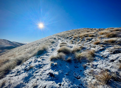
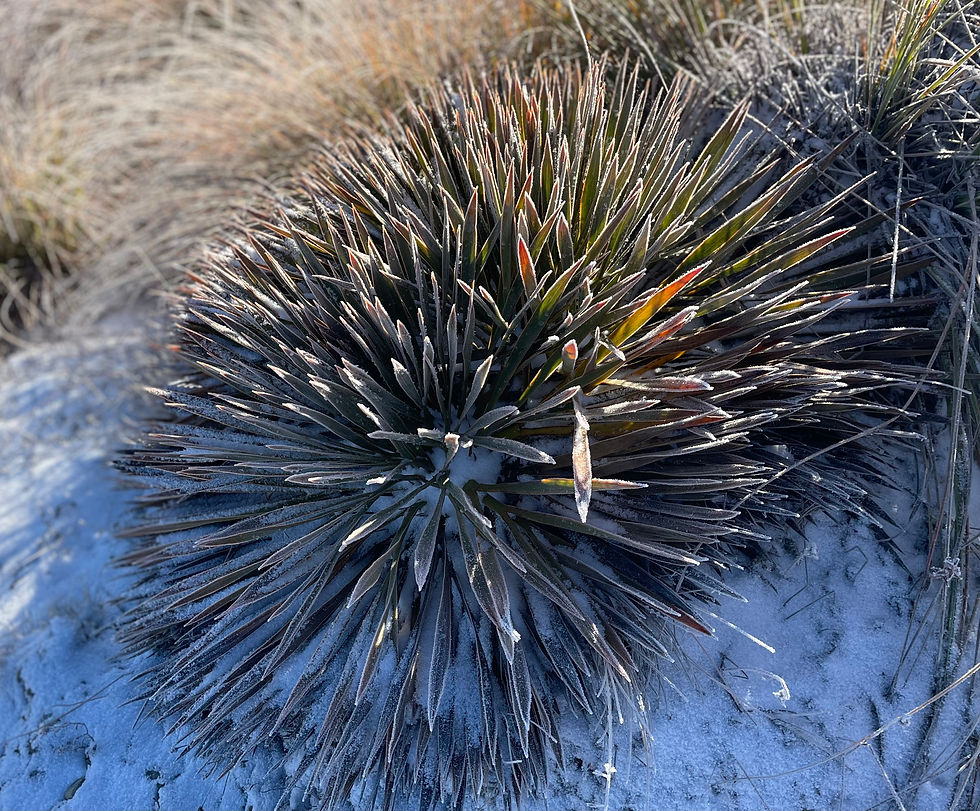
The forecast was meant to be cold with a Westerly. I started early, around sunrise, and wasted no time heading up to Mount Hockern and Rock Peak. It was a gorgeous morning and the little bits of snow made me excited for winter.
I spent the day following a four-wheel drive track, which made me wish I were actually on a gravel bike! The wind was consistent and cold and I had on all of my layers.
After summiting Queensberry Hill, the last "peak" of the day, I dropped down to meet the Meg Hut Pack Track and followed it to the road end.
After twenty minutes of attempted hitchhiking, I was eventually picked up by a van-lifer who dropped me back to my own van at the top of the Crown Range.

This trip makes for a good training day where you don't want to push the body too hard.
Happy days...


Comments